It was a nice connection to where some of these students will go - several past grads have had coop jobs at the the Southeast Fire Centre. Also it was nice to see a number of the students in this group that have come through the geomatics courses that our two year diploma students take.
 |
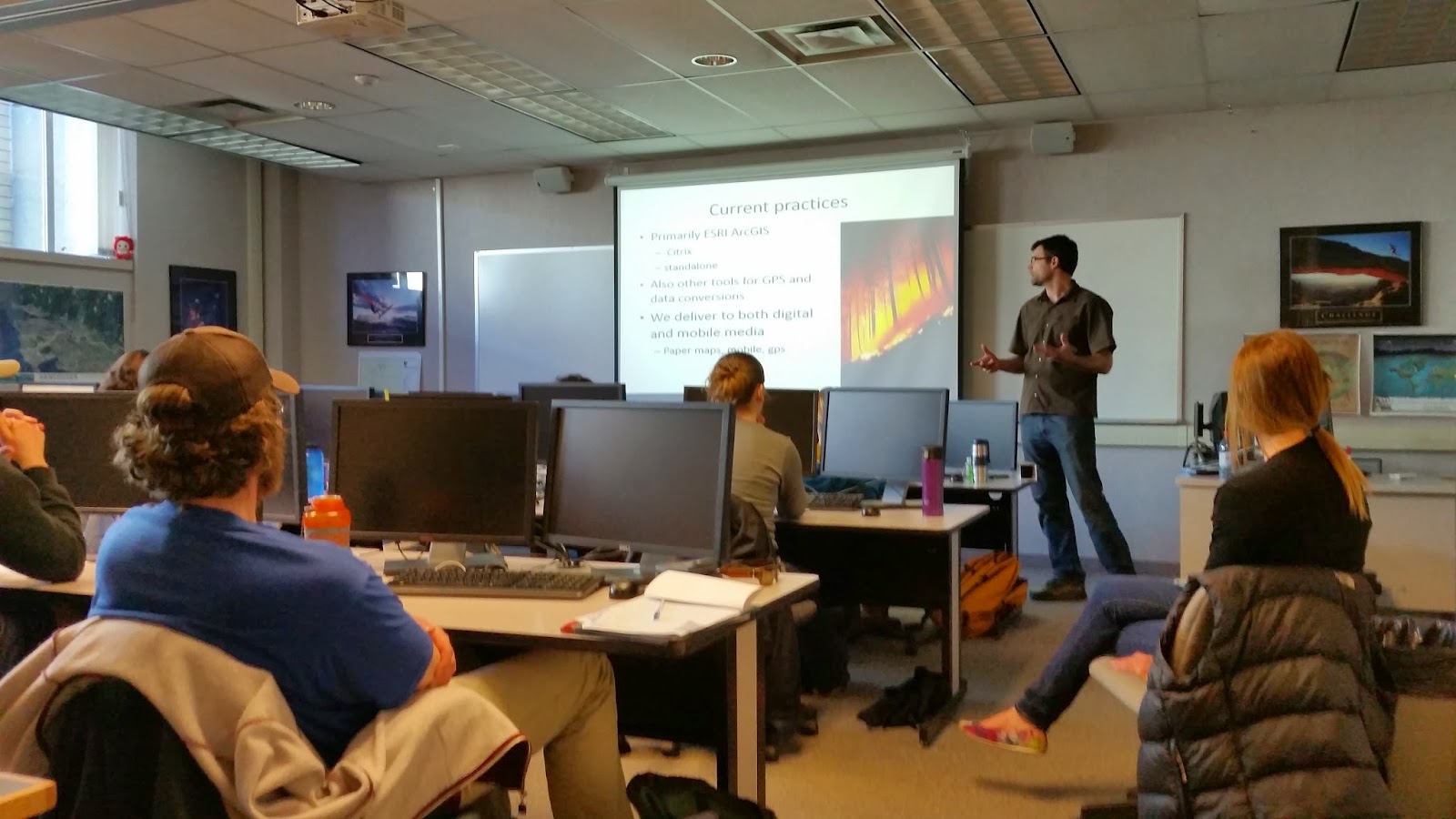
| Rena Vandenbos instructing a second year forestry GIS lab |
No comments:
Post a Comment