We're almost at the New Year here, but there's been a lot of interesting events our SEG students have experienced over the last four months, and I though I should mention at least a few of them!
Doris Hausleitner and I took the 2nd year IEP students up to
Stagleap Provincial Park to help monitor whitebark pine population health, and to look at the change in forest structure over an elevation gradient (from the Pass car park to the top of Cornice Ridge).
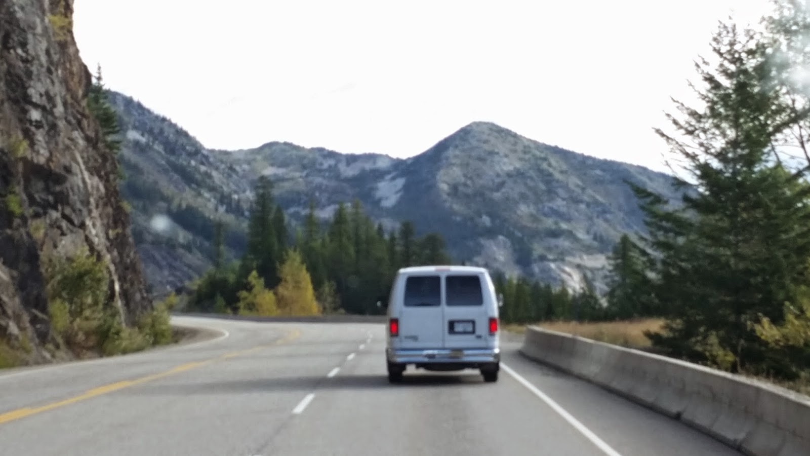 |
| Cornice Ridge leads up from the right to the little peak above the van |
Like last year, we hoofed it up to the top of the ridge for a view. Then we set up fixed area plots to record tree density and other measures of forest structure.
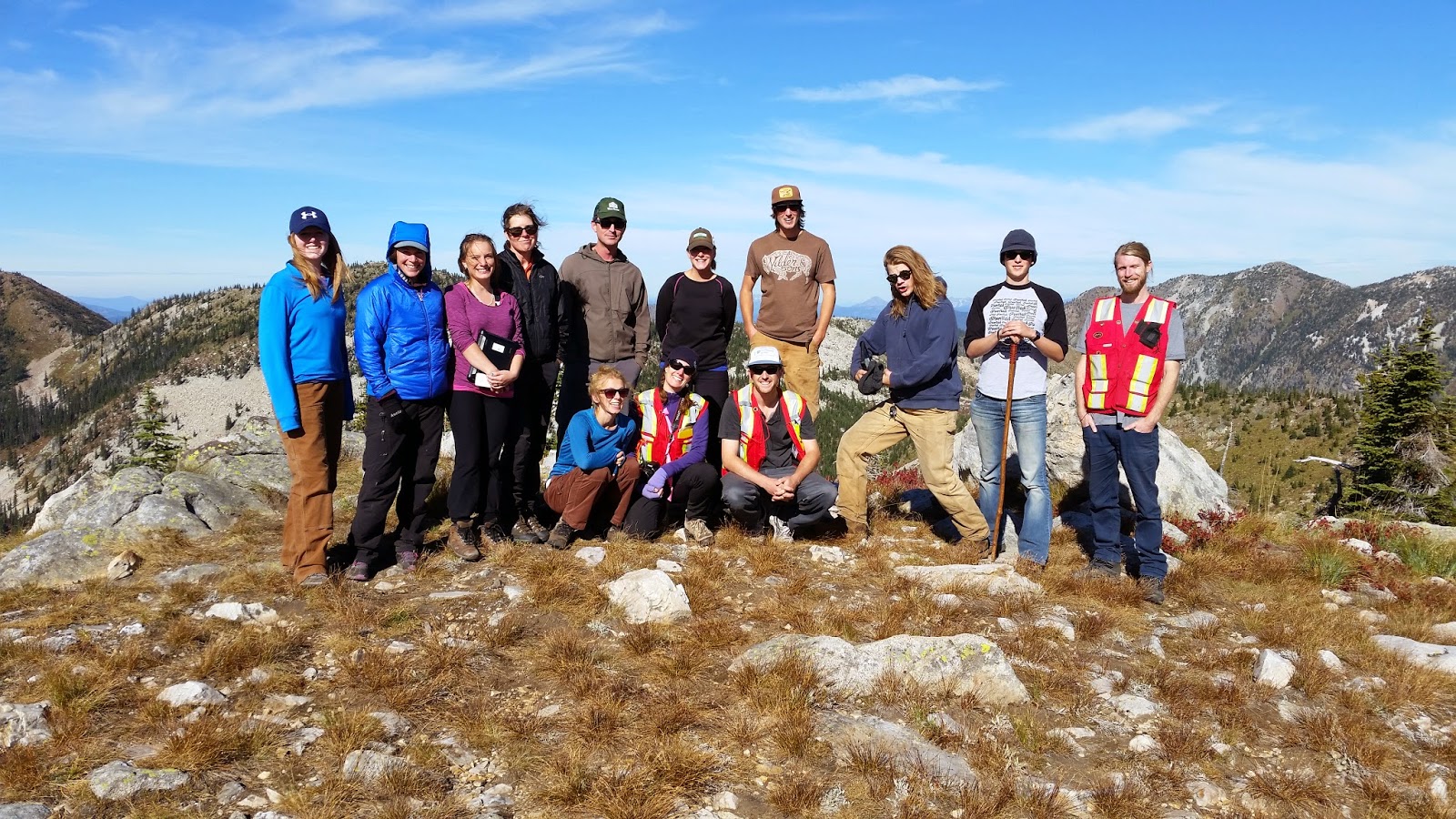 |
| The class on the top of Cornice Ridge |
|
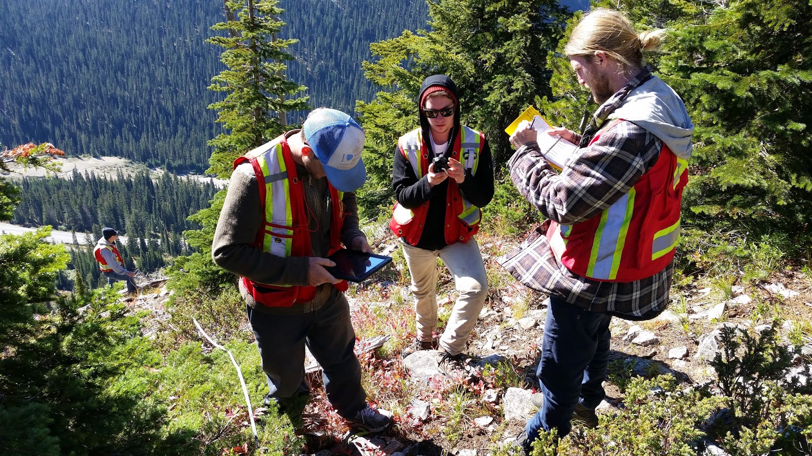 |
| Students getting to work recording forest structure data on the site |
An important part of the lab is to assess the extent of blister rust infection in the whitebark pine population. This species of pine is
listed as endangered in Canada, and I've worked on it's conservation and restoration it's high elevation habitat since 1997. It's great to get students introduced to, and working on this problem every year.
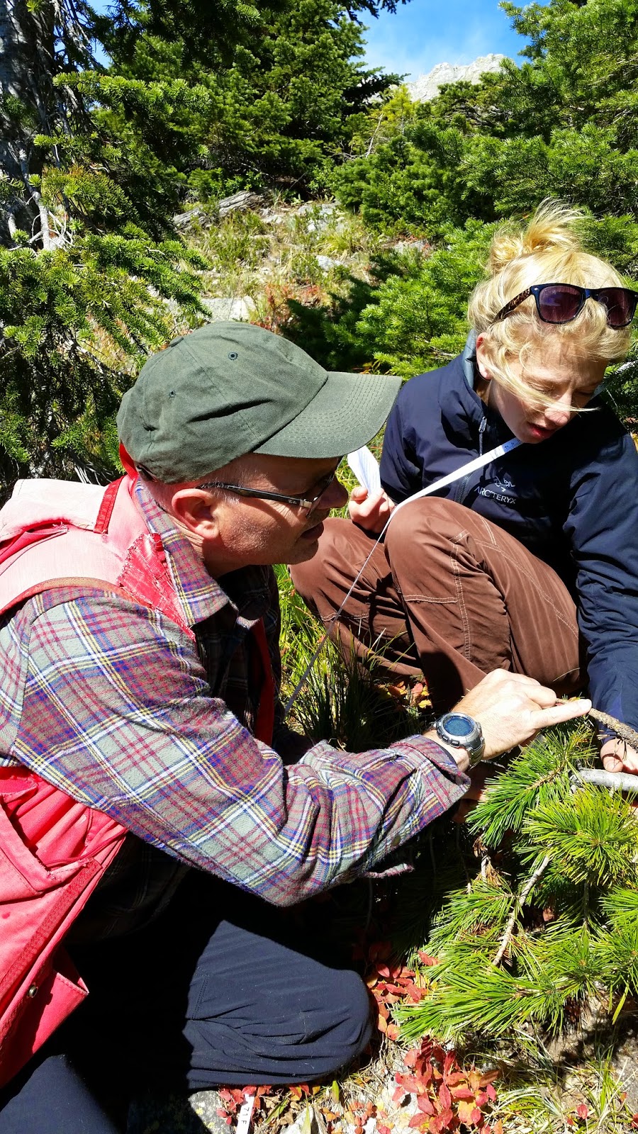 |
| Looking at infected whitebark pine saplings |

